


Insights

Tips for a Smooth Site Handover Process when Taking Possession under a Development Consent Order
In the delivery of any nationally significant infrastructure project, there is a quiet but critical moment: the point at which land changes...

How to Avoid Infrastructure Project Delays
The incoming Government has made it a mission to ‘Get Britain Building’ and, as well as the delivery of millions of new homes, it also committed to...

Planning Reform 2025: Consultation and Engagement in a Changing NSIP Landscape
The UK government’s January 2025 Planning Reform Working Paper proposes significant changes to consultation and engagement for Nationally Significant...
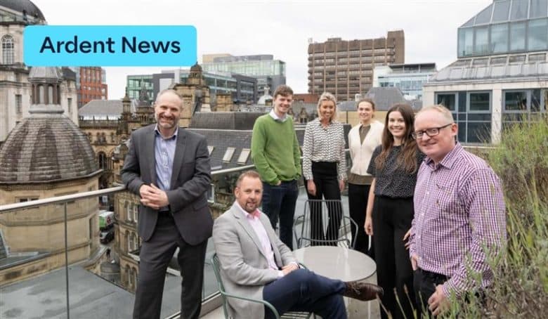
Ardent expands to Manchester with new office space
We are delighted to announce the latest addition to our growing office base, as Ardent takes space in Manchester’s Northspring facilities in Spring...
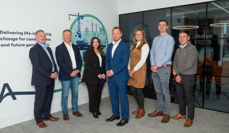
Ardent Moves to A New Birmingham City Centre Office
We’re excited to announce that Ardent has moved into new city centre offices in Birmingham as part of our ongoing ambitious growth plans. With...

The Important Role of Shadow Boards in a Growing Business
As businesses grow, maintaining alignment between leadership and the people becomes increasingly challenging. Companies are also under pressure to...

Ardent reaches industry-first 100 DCOs
We are proud to announce that Ardent has reached a significant milestone in delivering some of the UK’s largest development projects. We’ve...

UK Compulsory Purchase Expert Helps Block Controversial CPO in Turks and Caicos
A leading UK compulsory purchase practitioner has successfully supported the rejection of a CPO by the Government of the Turks and Caicos...
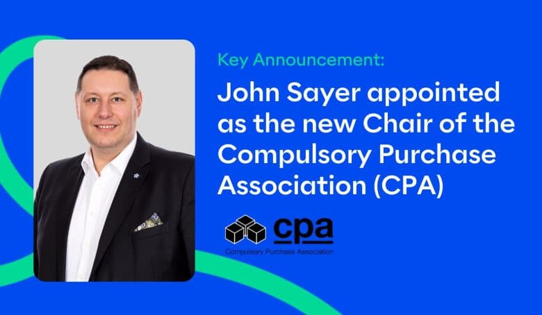
John Sayer, Head of Regeneration at Ardent, has been appointed as the new chair of the Compulsory Purchase Association (CPA)
Ardent is delighted to announce that John Sayer, Head of Regeneration at Ardent has been named as the new chair of the Compulsory Purchase...
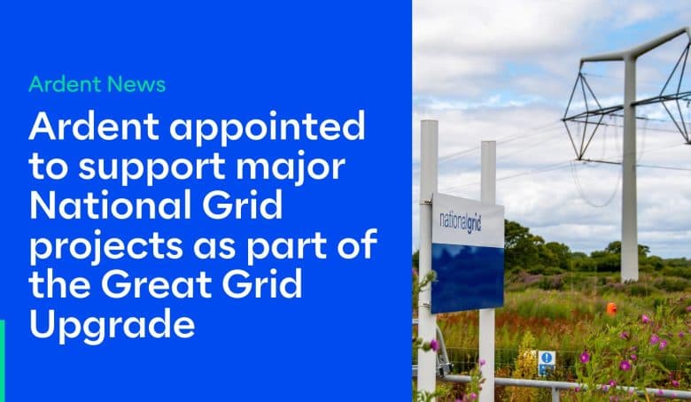
Ardent appointed to support major National Grid projects
Ardent is delighted to share that we have been appointed to support National Grid on three major projects supporting the Great Grid Upgrade. The...

Ardent Sponsors the Society of Land Referencers’ Landmark Conference
Ardent is proud to be a key sponsor of the upcoming Land with Certainty Conference, hosted by the Society of Land Referencers in collaboration with...
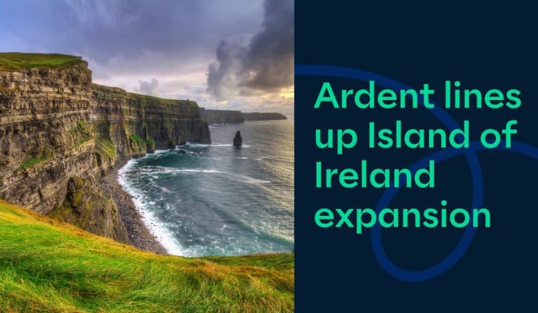
Ardent lines up Island of Ireland expansion
We, at Ardent, are thrilled to announce our expansion across Ireland. With our office located in Fitzwilliam Square, Dublin, we are set to grow our...